current projects
CANOPY CONTINUUM
|

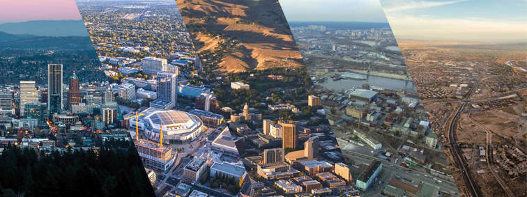
UREx SUSTAINABILITY RESEARCH NETWORK
|
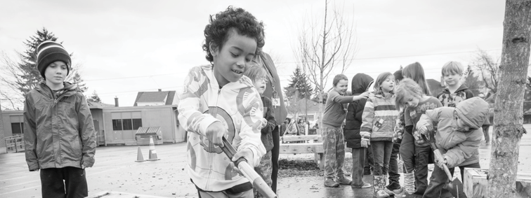
BRANCH OUT PDX
|
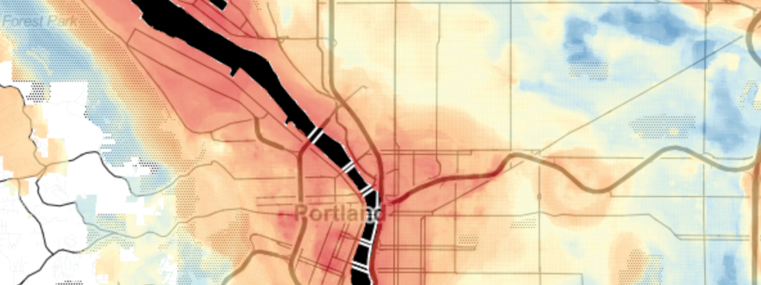
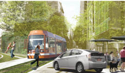
URBAN CLIMATE & HEAT IN THE EMERALD CORRIDOR
|
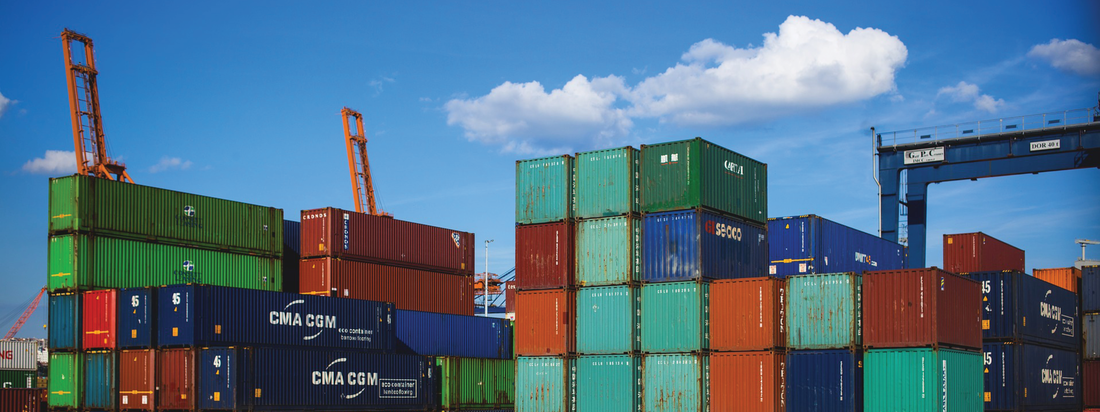
DIESEL EXHAUST PROFILE
|
past projects
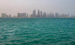
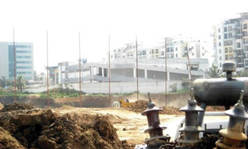
Gulf Region, Scaling Sustainability: Greater Doha, Qatar
Create a collaborative, multinational model for sustainable urban development
Examine the scales at which land use planning can influence environmental and social conditions
Create opportunities for research, internships, and networking between US and Qatari students
Special thanks to Qatar Foundation
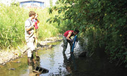
Rapid Urbanization & Water Quality: India & US
Compare urban and political ecological research methods in India and US
Assess impact of urban development on water quality; Develop socio-ecologically resilient water systems
Identify emergent relationships between urban ecological systems and government reforms in the 2 countries
Special thanks to National Science Foundation
Geocomputation for Urban Planning & Policy
Develop automated tools to help researchers use big data and improve efficiency across projects, such as:
- Optimized processing & classification of LiDAR point clouds
- Creation of LiDAR derivatives
- Statistics sampler for land use regression models
Develop automated tools to help researchers use big data and improve efficiency across projects, such as:
- Optimized processing & classification of LiDAR point clouds
- Creation of LiDAR derivatives
- Statistics sampler for land use regression models
Healthy Trees, Healthy People [visit the website]
Use urban canopy designs to improve air quality and public health in US metropolitan areas
Determine which canopy designs most effectively mitigate urban heat island effect and air pollution
Determine which designs effectively reduce acute respiratory illness and may lower national healthcare costs
Special thanks to US Forest Service
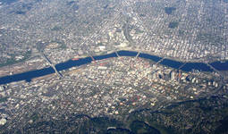
Urban Long-Term Research Area (ULTRA): Portland-Vancouver [visit the website]
Improve understanding of resilience in urban socio-ecological systems
Examine the roles of biophysical systems and human governance structures in responding to disturbance
Understand how governance, policy, and land use influence resilience in different contexts
Special thanks to National Science Foundation
Ecosystem Services for Urbanizing Regions: IGERT [visit the website]
Examine feedback loops between urban growth and social-environmental-economic problems
Develop strategies to minimize ecological footprint of urban areas
Quantify ecosystem services, and value them according to ecological, social, and economic benefits
Special thanks to National Science Foundation
Examine feedback loops between urban growth and social-environmental-economic problems
Develop strategies to minimize ecological footprint of urban areas
Quantify ecosystem services, and value them according to ecological, social, and economic benefits
Special thanks to National Science Foundation
The Triple Bottom Line Tool [visit the website]
Create a tool to optimize investments in alignment with economic, environmental, and social performance
Used to configure investments for max. return; consider alternatives; communicate alignment with TBL goals
Accounts for economic, social and environmental value not reflected in traditional investment balance sheets
Special thanks to US Department of Commerce
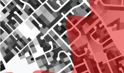
Assessing Exposure to Degraded Environments
Use dasymetric mapping to determine where people actually live and population density
Assess exposure to environmental stressors based on spatial distribution, and potential health consequences
Use this information to make plans/decisions that address degraded environments and public health
Use dasymetric mapping to determine where people actually live and population density
Assess exposure to environmental stressors based on spatial distribution, and potential health consequences
Use this information to make plans/decisions that address degraded environments and public health
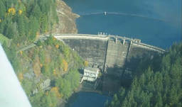
Integrated Water & Land Planning for Climate Adaptation [visit the website]
Examine relationship between water consumption, land use, and climate change; develop adaptation strategies
Establish statistical relationships between local-scale climate conditions and water consumption
Identify areas of possible vulnerability or resilience under different urban growth and climate change scenarios
Special thanks to NOAA and Portland State University Institute for Sustainable Solutions
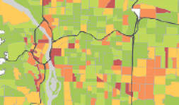
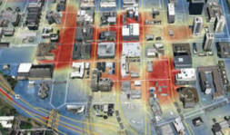
Assessing Vulnerability to Air Pollution & Urban Heat
Collaborate with cross-sectoral experts to determine spatial distribution and exposure of vulnerable populations
Identify target areas for pollution- and heat-mitigating interventions (such as tree planting)
Locate those populations most in need during an extreme heat or air pollution event
Special thank to City of Portland Bureau of Planning & Sustainability
The Neighborhood Life Survey
Assess social perceptions of neighborhood quality for the South of Market (SoMa) EcoDistrict, Portland, OR
Characterize individual behaviors related to energy use and materials (waste) management within the SoMa
Create a mapping application that gives relevant info and helps with community decision-making [SUPRmap]
Special thanks to Bullitt Foundation
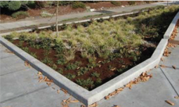
Social Perceptions of Green Infrastructure [visit the website]
Work with City of Portland to study effects of green infrastructure on sewer system and watershed function
Study solutions including: bioswale construction, sewer repair, community education, and tree planting
Survey communities to determine public perceptions around green stormwater infrastructure
Special thanks to City of Portland Bureau of Environmental Services
Measuring Neighborhood Sustainability
Accelerate neighborhood sustainability efforts by engaging citizens in prioritizing projects
Align resident priorities with regional sustainability goals, and address pressing social challenges
Utilize the step-by-step process provided by the EcoDistrict Assessment method [EcoDistricts Toolkit]
Special thanks to Bullitt Foundation and Portland State University Institute for Sustainable Solutions